Kallmi and Toke/Big Park
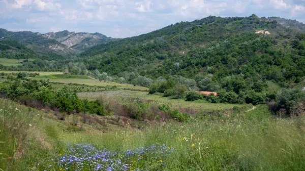
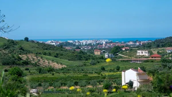
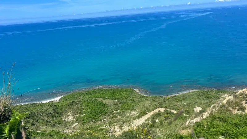
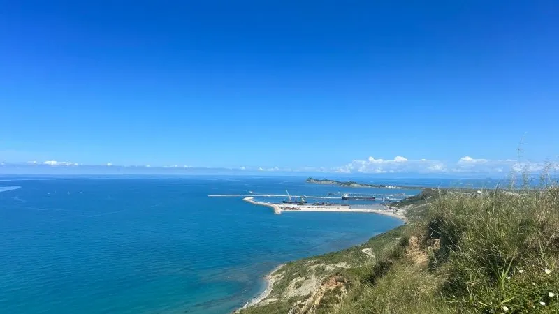
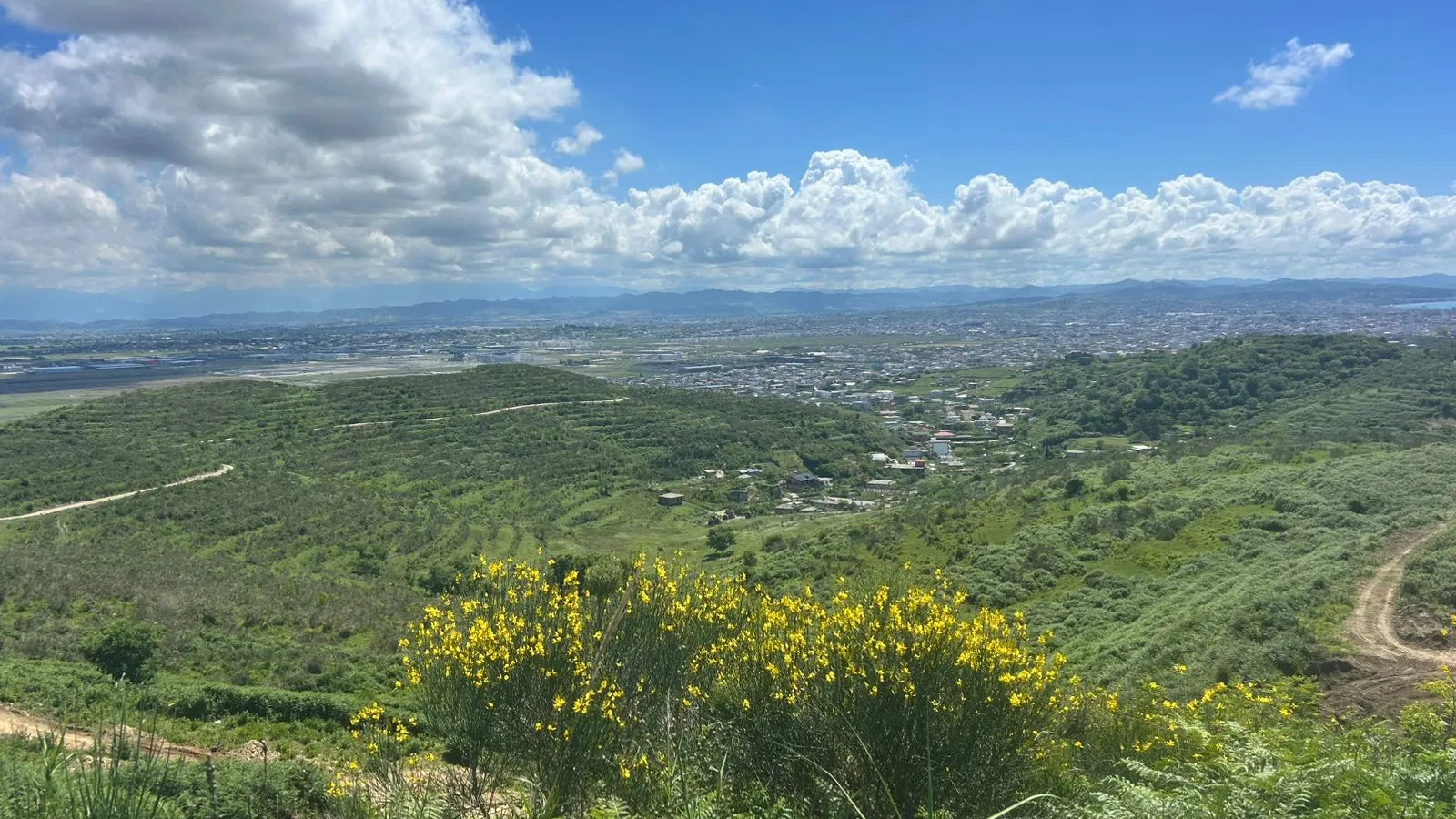
From Currila northwards towards Porto Romano lies the area known as Toke or Big Park through which there are a number of paths that can be hiked quite easily, up and down hillsides of fairly mild gradient. The shortest route through this area (and the first I ever discovered), begins through what appears to be a set of gateposts on the Rruga Aleksandr Goga as it passes through the area of Durrës known as Sptallë. The track climbs gently up to a reservoir and then, eventually, to the peak called Kallmi's Eye, from where it descends to the beach via a winding track. The Porto Romano bus, which can be caught from its start point on Rruga e Dëshmorëve, stops about 100 metres short of this entrance. Check for the exact stop on the Durrës by Bus website.
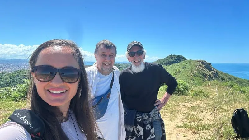
Within this area, it's also possible to walk a circular track that starts and returns the walker to Currila. The shortest route, above, can take as little as an hour (although you'll likely spend longer just sitting at the eye gazing over the Adriatic), while a round walk can take 2-3 hours.
As of late 2-25, this section of track is gradually being transformed into a quad biking route, so hikes across may not be as pleasant as in the past. There is an alternative track starting further up the Rruga Aleksander Goga (the brown markers) that bypasses much of the quad hike excavation work.
Porto Romano
Further up the Rruga Aleksander Goga, as you begin to approach Porto Romano itself, there are a number of tracks off to the left/west that will also take you up on top of the ridge and down to the coast, but not in the easily accessible way that more southerly tracks allow for. You'll be scrambling down hillsides and over rocks, and if you haven't checked for the tide, you won't get far up the beach before your route is blocked. Eventually, the beach will lead to Porto Romano itself, from where you can catch the bus back to town.
Sector Rinia
The Rinia bus, starting from just across from the Martyrs' Monument, passes the University and stops at the coast near the Keneta e Durrësit (Durrës Marsh), a flat, marshy area with tracks leading to the beach, and, eventually, the Rrushkull Nature Park, which offers bird watching and fishing. Check the route on https://durresbybus.com/#rinia
The Via Egnatia
Starting from the car park/bus stop at Golem village, this ancient Roman road stretches across Albania, via Elbasan and Lake Ohrid, across North Macedonia and eventually into Greece (Thessaloniki) and Turkey (Istanbul).
This track has been mapped and tracked by the Via Egnatia Foundation, which has produced two guidebooks on navigating the road and which come with Google Earth Tracks that make keeping to the route much simpler than would otherwise be the case. These books are available from The Bridge Bar on Vollga Pista
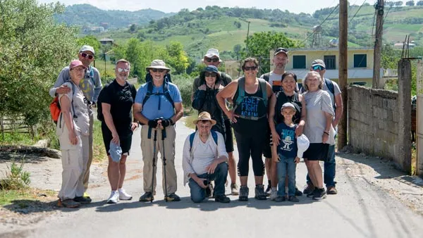
Expats from the Durrës Expats and Residents Group on Facebook have walked the opening segment of this route, from Golem down to Kavaje, taking an off-ramp into Kavaje to make returning to town easier.